What We Offer
The full spatial stack,
start to finish.
Six specialisations. One coordinated workflow. Every engagement starts with a written scope so you know exactly what you're getting before fieldwork begins.
Get a quote →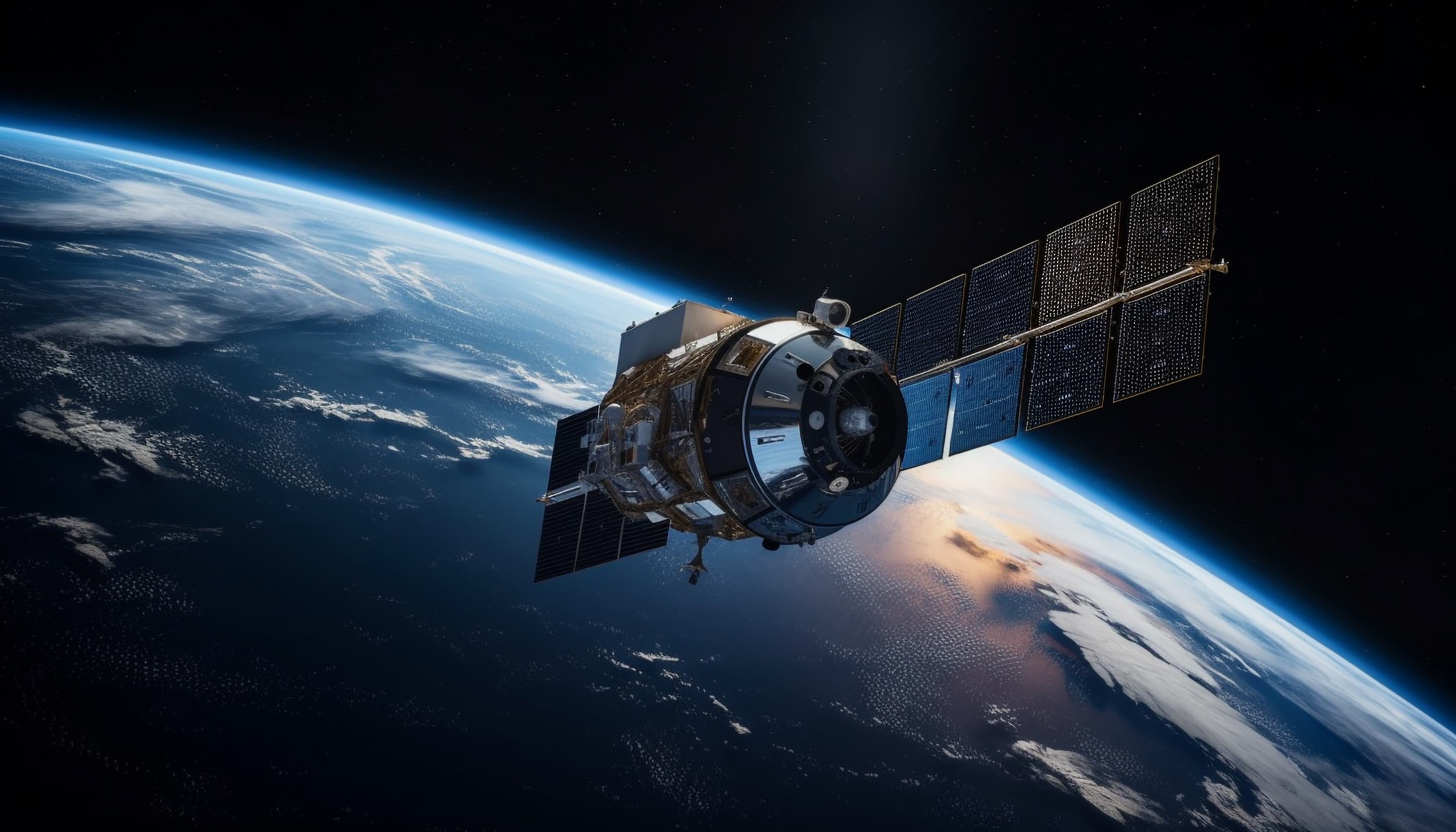
Remote Sensing
We process satellite and aerial imagery to extract meaningful surface intelligence, supporting environmental management, land use planning and resource monitoring at any scale.
- Sentinel-2 & Landsat processing
- Land cover classification
- Change detection & NDVI
- Environmental monitoring

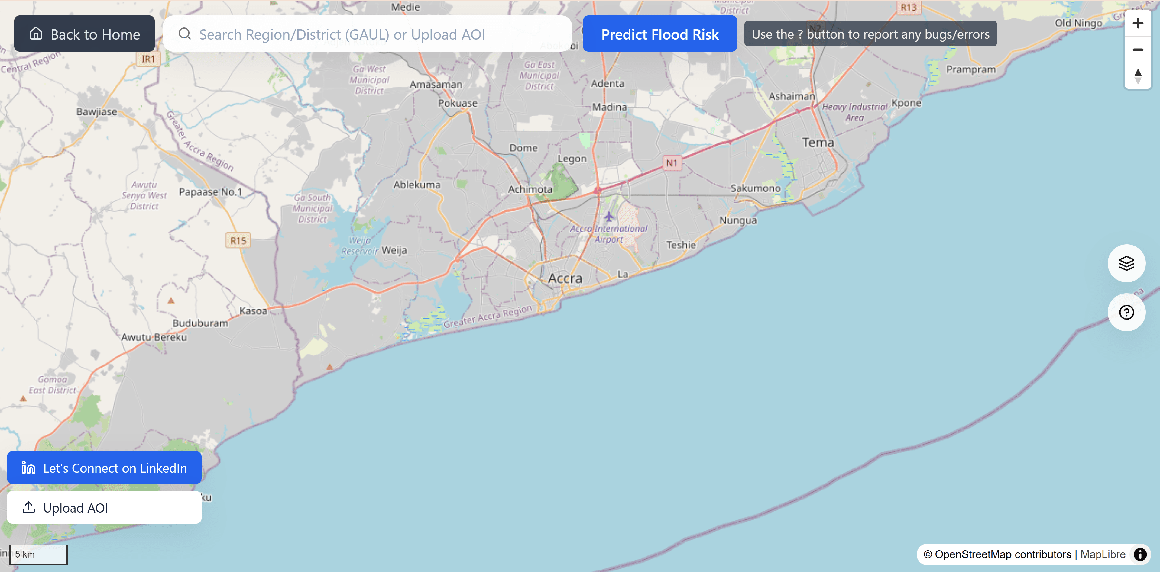
Geospatial Analysis
We build GIS workflows that turn raw location data into clear, actionable insights for engineers, planners and decision-makers.
- Site suitability modelling
- Corridor & least-cost path
- Multi-criteria overlay
- Spatial data visualisation

Geospatial Software
We design and build custom geospatial software, from web mapping applications and spatial APIs to automated processing pipelines tailored to your workflow.
- Web mapping applications
- Spatial data APIs
- Automated GIS pipelines
- Custom tooling & plugins

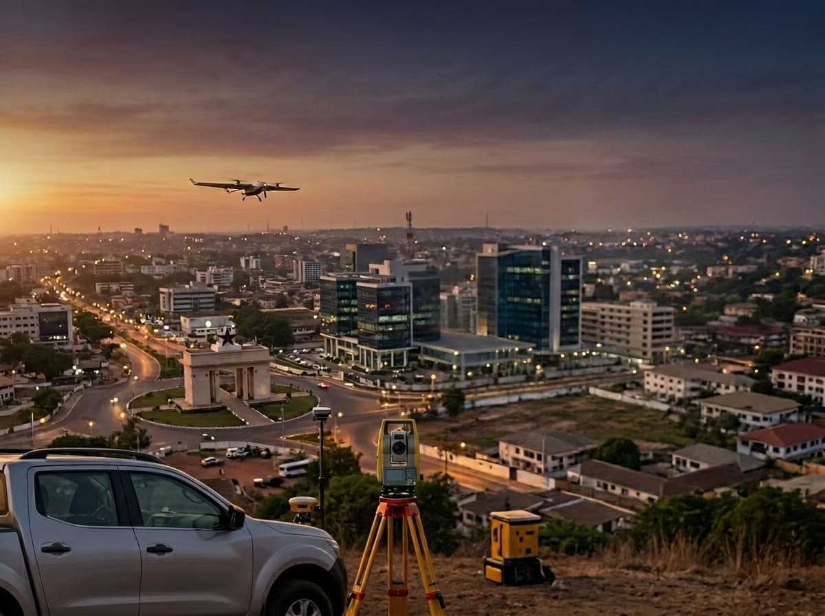
Survey & Field Work
Our surveyors conduct precise measurements using total stations, GNSS receivers and UAV platforms, with full QA documentation from calibration to final plan.
- Total station & GNSS surveys
- UAV photogrammetry
- Construction staking
- As-built pickup

Geospatial Machine Learning
We apply machine learning to satellite imagery, LiDAR and vector data for automated feature extraction and predictive spatial modelling.
- Image classification & segmentation
- Object detection in imagery
- Predictive spatial modelling
- LiDAR point cloud analysis
Geospatial Dashboards
We build browser-based dashboards with live maps, spatial KPIs and drill-down analytics — no GIS expertise required to use them.
- Interactive web map dashboards
- Live spatial data feeds
- KPI & analytics panels
- Mobile-responsive design
Start a Project
Don't see exactly what you need?
Our services adapt to the project. Tell us the problem and we'll scope a solution, no jargon, no guesswork.