01
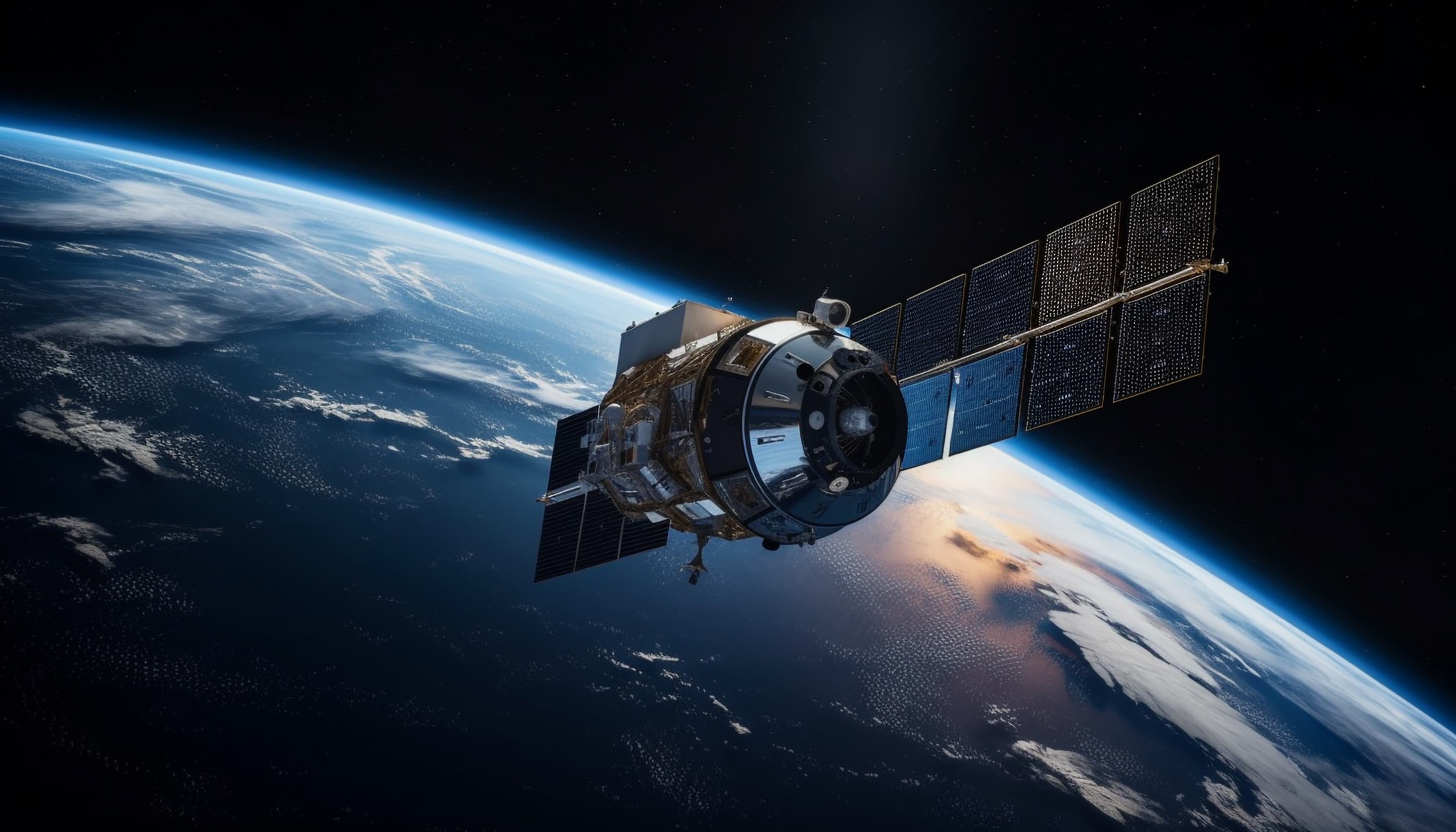
Remote Sensing
Insights from satellite and aerial imagery including land cover mapping, change detection and environmental monitoring at scale.
Explore →
Geospatial Intelligence • GIS • Remote Sensing
Turn Location Data Into Clear Maps, Trusted Models, And DecisionsYour Teams Can Defend With Confidence In The Field And At The Table
GEOSPIRAL SOLUTIONS
From local terrain to global networks, we deliver precision geospatial solutions that help organisations understand, analyse, and act on the world around them — wherever they are.
Our Process
Every engagement follows a documented workflow. No surprises on scope, schedule, or deliverables.
Share your project scope, site boundaries and requirements with us.
We draw up a full work plan detailing methods, timeline and milestones.
We carry out the work on schedule with regular progress updates.
Final outputs delivered in your agreed format, on time.
Start a Project
Share your site address, timeline, and what you need on the ground. We respond with a clear scope, fee outline, and schedule — no jargon.

